Rubel Bikemaps Regional Maps
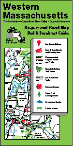
sample of map*NOTE* Western and Central maps (and hence the map sets) are currently unavailable. We hope to have them back soon but have no estimated date yet.
- Western Massachusetts -- NY state border east to include Quabbin
- Central Massachusetts -- I-495 West to include Quabbin Reservoir
- Eastern Massachusetts -- All MA east of I-495 except Cape Cod 6/22/01 Press Release
- Cape Cod & North Shore -- Cape Cod, Islands, Cape Ann, North Shore 6/22/01 Press Release
- Massachusetts Bicycle Map Set-- includes above 4 maps (great gift!)
- Martha's Vineyard & Nantucket Islands
These regional maps are Bicycle & Road Maps as well as Bed & Breakfast Guides. They provide general road and recreation information as well as bicycle-specific features.
